Here are some observations from the recent ACMG TAP Hiking Guide Exam June 2-7.
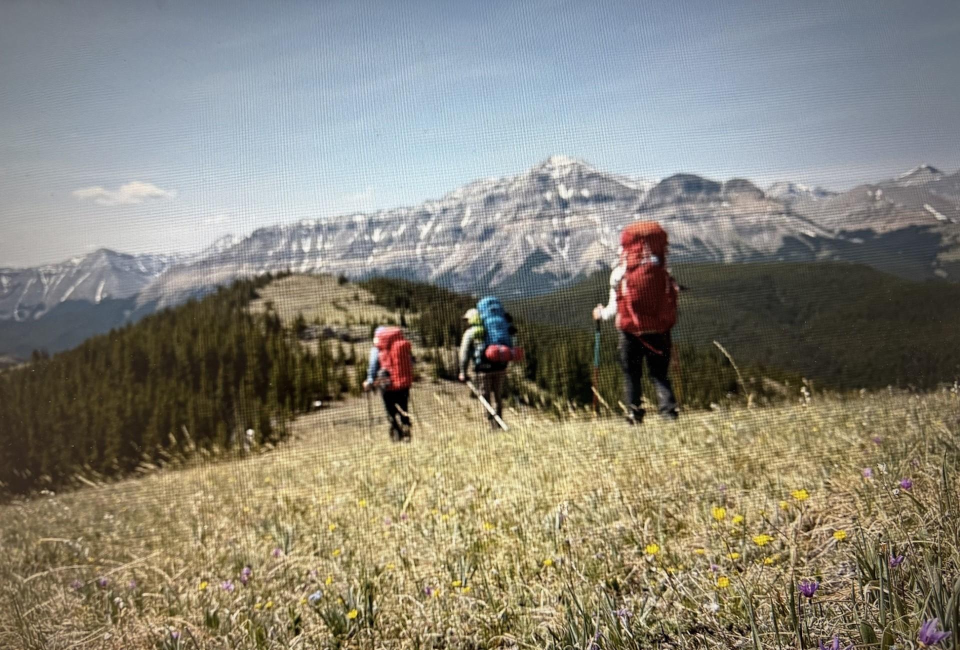
Over a period of 4 days, groups travelled between Bluerock Campsite in the Sheep River to Little Elbow Parking in the Elbow River. The route went via Mt Ware, Surveyor’s Ridge, Black Cow Hill, and Forgetmenot Ridge.
Weather conditions were a mix of sun and clouds, with some convective showers in the first 2 days, clearing through the trip. Temperatures varied from 0 degrees at night to 22 degrees on the warmest day. Winds were consistently light from the west, with some moderate to strong gusts.
We travelled on a combination of trails and off-trail terrain between 1600m- 2330m. Trails varied from well-defined hiking and horse trails to smaller wildlife trails and seismic lines. All trails were passable with no unexpected hazards. Off-trail travel was better on southwest aspects in more mature lodgepole forests. More challenging travel was found in the dense trees on northerly aspects.
Snow was almost completely melted except for the occasional small patch and all streams crossed were passable. These included Gorge Creek, Volcano Creek, Three Point Creek. The Elbow River was the deepest and was at mid-thigh level.
Hazards included bushwhacking, river crossings, loose rocky terrain, and wildlife. We saw many small critters (chipmunks, squirrels) and some noisy grouse. There were signs of black bear, sheep, moose, and deer. Several group members found ticks on them.
Highlights of the trip included incredible views at ridgetop along Surveyor’s Ridge and Forgetmenot Ridge. There were many wildflowers in bloom at all elevations.
Hiking Guide Candidates
Instructors:
Helen Sovdat (MG)
Sylvia Forest (MG)
Laura Newsome (HG, VFG)